


Next: Other data
Up: Sources of Terrain
Previous: Example satellite image
Digital Line Graphs (DLG) are made up of vector data marking objects such
as roads, waterways, city, county, state and country borders.
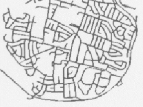
Digital line graph of roadways
Paul Coddington, Northeast Parallel Architectures Center at Syracuse University, paulc@npac.syr.edu