Extended UDDI Service
 
Community Grids Lab (CGL), Pervasive Technology Labs (PTL),
Indiana University, Bloomington (IUB).
UDDI Service Links
Home
Publications
Downloads
Resources
JavaDoc API
Demos
Change Log
FTHPIS   Links
Context Service
OpenGrids
Community Grids Lab
Publications
Presentations
CGL Activities
CGL Home  |  PTL Home
Motivation

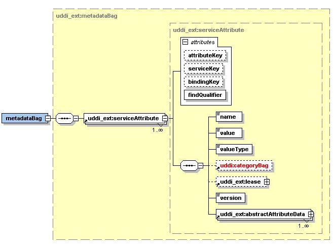
Services, because they are generic, must provide additional, descriptive metadata in order to be useful. The problem is simple: a client may interact with two different Services in exactly the same way (the WSDL is the same), but these Services may hold different data. Open GIS Consortium (OGC) compatible data services (Web Feature Services) are good examples for this. One Web Feature Service, for example, may contain GPS data for the Western United States while the other has GPS data for Northern Japan. Clients must be able to query information services that encode (in standard formats) all the necessary information, or metadata, that enables the client to connect to the desired service. This is an example of the very general problem of managing information about Web Services. To address these problems, we are designing a general purpose information system, the Fault Tolerant High Performance Information System (FTHPIS), that we are applying initially to problems in GIS information management .

The FTHPIS project is being developed by Mehmet S. Aktas under close supervision of both Dr. Marlon Pierce and Prof. Dr. Geoffrey C. Fox. For information or queries pertaining to FTHPIS you can mail us at (maktas_at_cs_dot_indiana.edu, mpierce_at_cs_dot_indiana.edu and gcf_at_indiana_dot_edu).
(Please replace _at_ with @ and _dot_ with .)

Extending UDDI v3 Specifications

We use the Universal Description, Discovery, and Integration (UDDI) (Bellwood, Clement, and von Riegen, 2003) specifications in our design as centralized registry. UDDI offers users a unified and systematic way to find service providers through a centralized registry of services. We design an extension to existing UDDI Specifications in order to provide dynamically updated service registry data. Existing UDDI Information Model [.ppt]. Proposed UDDI Information Model [.ppt]

Metadata Representation in Extended UDDI v.3. Specifications

Here is the schema for proposed extensions to UDDI v3. in order to annotate service descriptions with more information. We introduce an extensions for both metadata about a service and life time of a service. You may find the image for proposed metadata schema at [.jpg]. You may also find proposed schema for lifetime information about a service at [.jpg].

User Defined Taxonomies
  • OGC Service Taxonomy [.xml]
  • Service Taxonomy based on Service Management [.xml]
  • A preliminary Taxonomy to categorize WS metadata [.xml]
  • OGC Quad Taxonomy [.xml]
Software - New Releases - Schedule

[1] - We finished implementation and testing of a Extended UDDI XML Metadata Service. This version has been successfully used in a GIS workflow system to support a data analysis tool called Pattern Informatics. The installation package for this release can be found here.

Acknowledgement

This work is supported by the NASA Advanced Information Systems Technology (AIST) program.

© Mehmet S. Aktas / Community Grids Lab, Indiana University